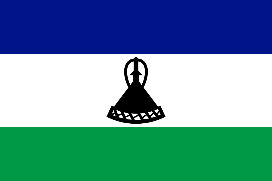
Lesotho
Country
Member state of the United Nations.[1]
- Land area
- 30,360 km²[5]
- Total area
- 30,355 km²[6] land and water
- Land border
- South Africa[12]
Parts of Lesotho
Loading 10 places.
Through time
736,500 in 1960, 2,363,325 in 2025
Show as a table
| Year | Population |
|---|---|
| 1960 | 736,500 |
| 1961 | 758,824 |
| 1962 | 781,814 |
| 1963 | 805,373 |
| 1964 | 829,437 |
| 1965 | 854,090 |
| 1966 | 881,870 |
| 1967 | 913,982 |
| 1968 | 948,105 |
| 1969 | 983,202 |
| 1970 | 1,019,273 |
| 1971 | 1,056,246 |
| 1972 | 1,094,063 |
| 1973 | 1,132,697 |
| 1974 | 1,172,420 |
| 1975 | 1,213,643 |
| 1976 | 1,253,214 |
| 1977 | 1,289,967 |
| 1978 | 1,327,240 |
| 1979 | 1,366,169 |
| 1980 | 1,406,521 |
| 1981 | 1,448,069 |
| 1982 | 1,490,732 |
| 1983 | 1,534,413 |
| 1984 | 1,578,986 |
| 1985 | 1,624,379 |
| 1986 | 1,666,138 |
| 1987 | 1,703,390 |
| 1988 | 1,739,841 |
| 1989 | 1,775,436 |
| 1990 | 1,809,696 |
| 1991 | 1,842,379 |
| 1992 | 1,873,274 |
| 1993 | 1,901,793 |
| 1994 | 1,927,707 |
| 1995 | 1,951,437 |
| 1996 | 1,972,418 |
| 1997 | 1,988,130 |
| 1998 | 1,998,049 |
| 1999 | 2,003,234 |
| 2000 | 2,003,913 |
| 2001 | 2,000,853 |
| 2002 | 1,994,679 |
| 2003 | 1,985,059 |
| 2004 | 1,971,129 |
| 2005 | 1,953,076 |
| 2006 | 1,945,063 |
| 2007 | 1,953,268 |
| 2008 | 1,966,541 |
| 2009 | 1,980,883 |
| 2010 | 1,996,251 |
| 2011 | 2,014,009 |
| 2012 | 2,034,354 |
| 2013 | 2,056,504 |
| 2014 | 2,080,089 |
| 2015 | 2,104,611 |
| 2016 | 2,130,422 |
| 2017 | 2,157,110 |
| 2018 | 2,183,603 |
| 2019 | 2,209,405 |
| 2020 | 2,235,727 |
| 2021 | 2,261,542 |
| 2022 | 2,286,110 |
| 2023 | 2,311,472 |
| 2024 | 2,337,423 |
| 2025 | 2,363,325 |
Learn more
- Simple English Wikipedia easier reading
- Wikipedia
- Wikidata the structured data behind many facts here
Codes
Changes to this page's data
No changes recorded since the dataset of 5 November 2026.
Sources
- United Nations: Member States Published directly by the source.
- Wikidata: Lesotho (Q1013), capital: Maseru Wikidata statement that does not cite a source yet.
- World Bank, World Development Indicators: Population, total (SP.POP.TOTL) Published directly by the source.
- Wikidata: Lesotho (Q1013), population Wikidata statement that cites its own sources.
- World Bank, World Development Indicators: Land area (sq. km) (AG.LND.TOTL.K2) Published directly by the source.
- Wikidata: Lesotho (Q1013), area Wikidata statement that does not cite a source yet.
- Wikidata: Lesotho (Q1013), official language: English Wikidata statement that does not cite a source yet.
- Wikidata: Lesotho (Q1013), official language: Sesotho Wikidata statement that does not cite a source yet.
- Wikidata: Lesotho (Q1013), currency: loti Wikidata statement that does not cite a source yet.
- Wikidata: Lesotho (Q1013), currency: rand Wikidata statement that does not cite a source yet.
- Wikidata: Lesotho (Q1013), continent: Africa Wikidata statement that cites its own sources.
- Cites: https://www.workwithdata.com/place/lesotho, retrieved 10 October 2024
- Natural Earth: Admin 0 countries, 1:50m Published directly by the source.
- Wikidata: Lesotho (Q1013), instance of Wikidata statement that does not cite a source yet.
- Wikidata: Lesotho (Q1013), official name Wikidata statement that does not cite a source yet.
- Wikidata: Lesotho (Q1013), official name Wikidata statement that does not cite a source yet.
- Wikidata: Lesotho (Q1013), official name Wikidata statement that does not cite a source yet.
- Wikidata: Lesotho (Q1013), official name Wikidata statement that does not cite a source yet.
- Wikidata: Lesotho (Q1013), official name Wikidata statement that cites its own sources.
- Wikidata: Lesotho (Q1013), ISO 3166-1 alpha-2 code Wikidata statement that does not cite a source yet.
- Wikidata: Lesotho (Q1013), ISO 3166-1 alpha-3 code Wikidata statement that does not cite a source yet.
- Wikidata: Lesotho (Q1013), ISO 3166-1 numeric code Wikidata statement that does not cite a source yet.
Flag image: Flag of Lesotho.svg, Public domain, See File history below for details., via Wikimedia Commons.